Studies + research
In our projects we often encounter questions that design alone cannot answer well enough. Research then becomes a way to better understand a place, its history, materiality, patterns of use and change over time.
Depending on the task, research may precede a project, develop alongside it or continue as an independent line of work. We pursue it through studies, mapping, archives, fieldwork, analysis of existing sources and content development, and sometimes through custom digital tools.
We adapt methods to each context. This may involve recording colours, sounds and materials in a landscape, reconstructing histories of use, or comparing quantities of data that cannot be read through a conventional map. The outcome is therefore not always a document: it may become part of signage, spatial identity, an exhibition, a publication, a database or a new tool for further work.
Magistrala
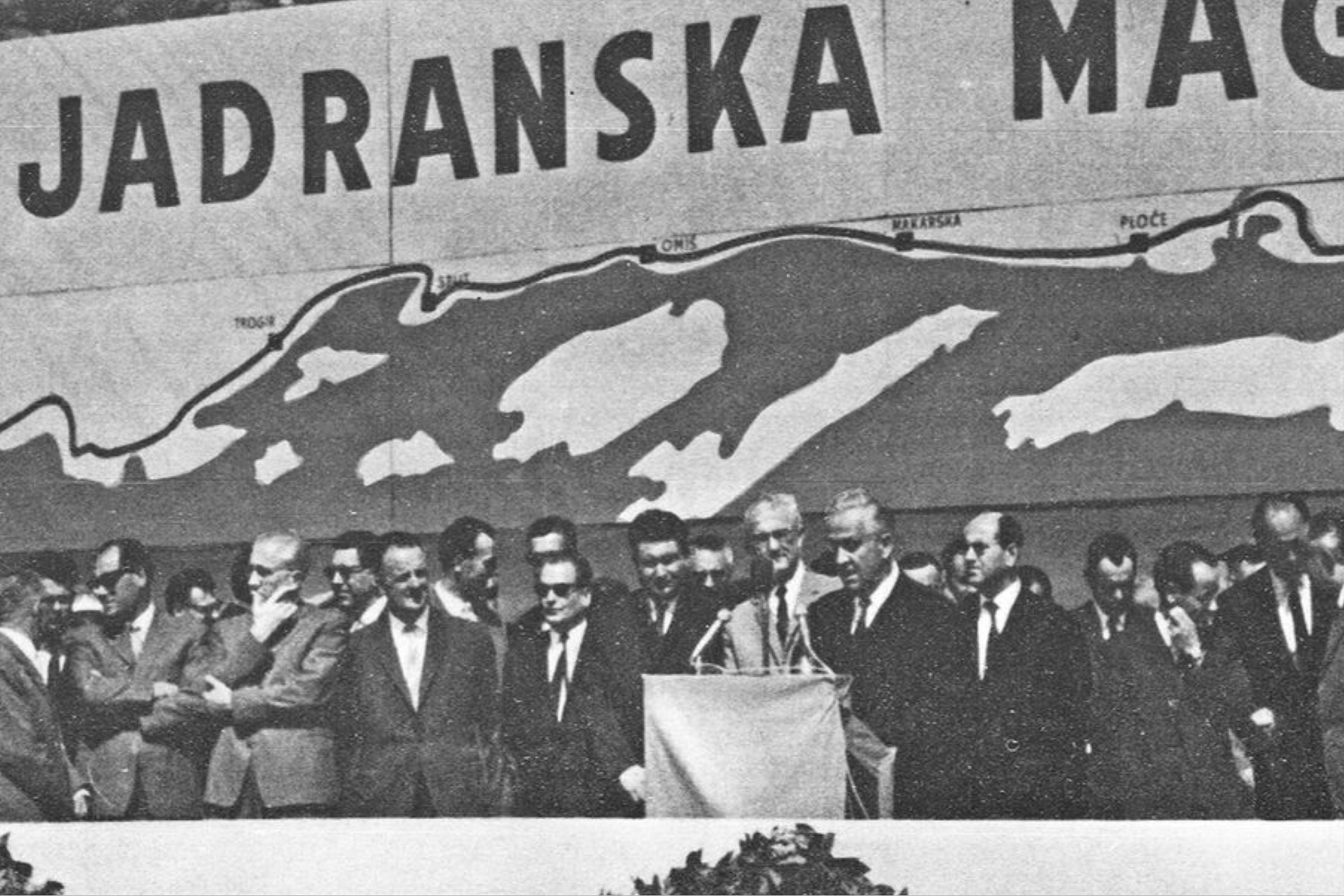
Linear mapping of the Adriatic Highway
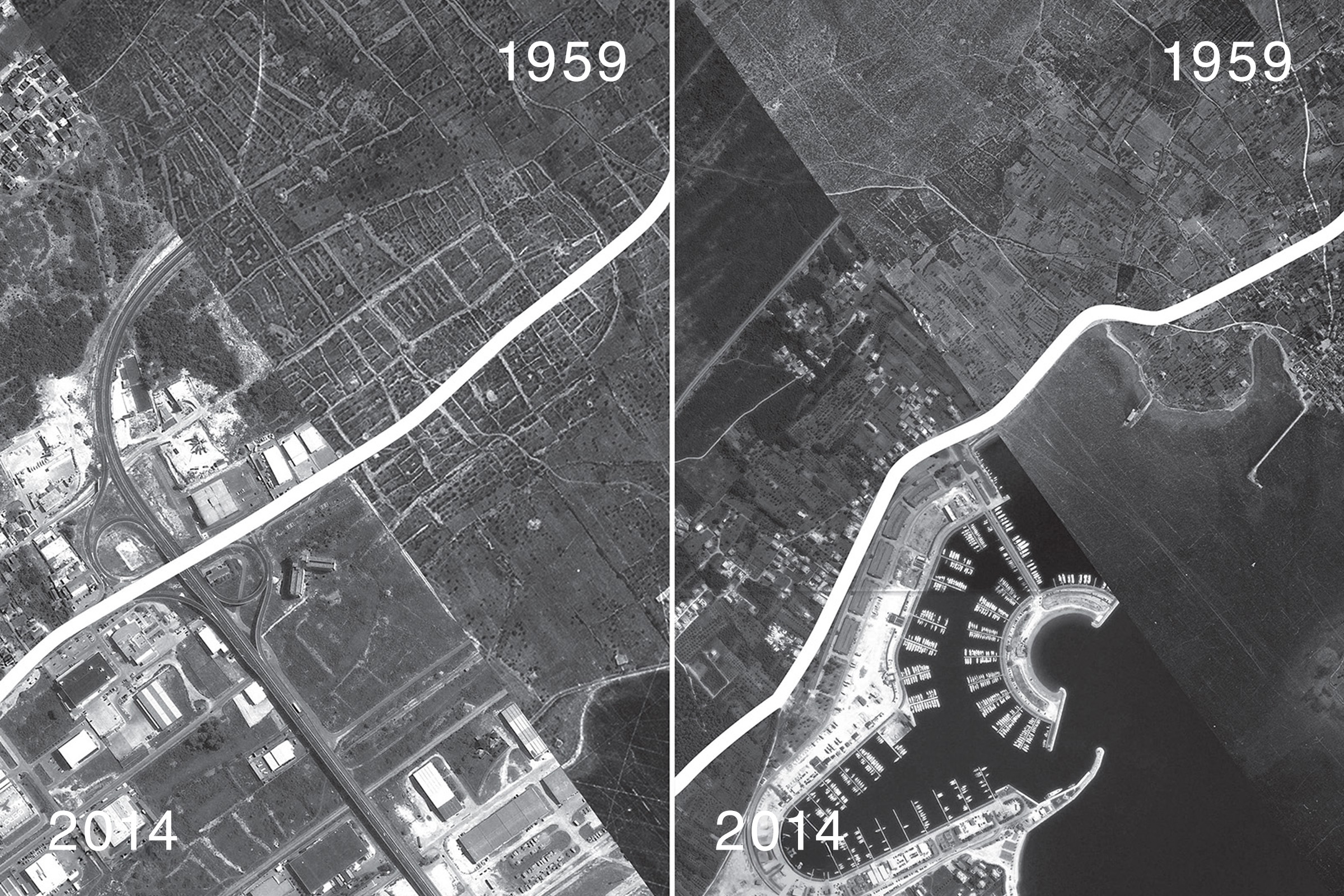
The Adriatic Highway research grew from an interest in the road as a space that simultaneously connects and separates, and as an infrastructure that has profoundly shaped the development and experience of the Adriatic coast over decades.
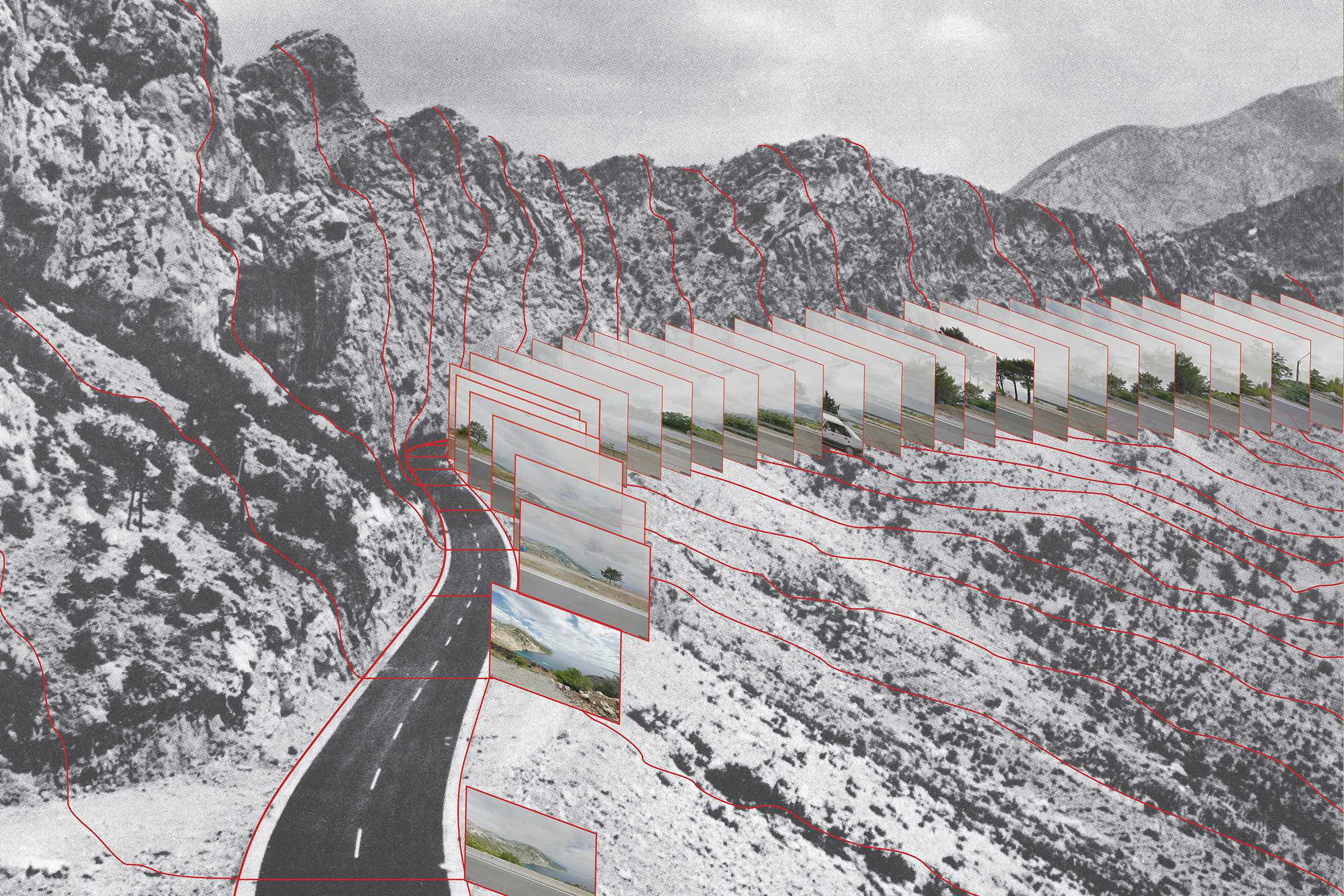
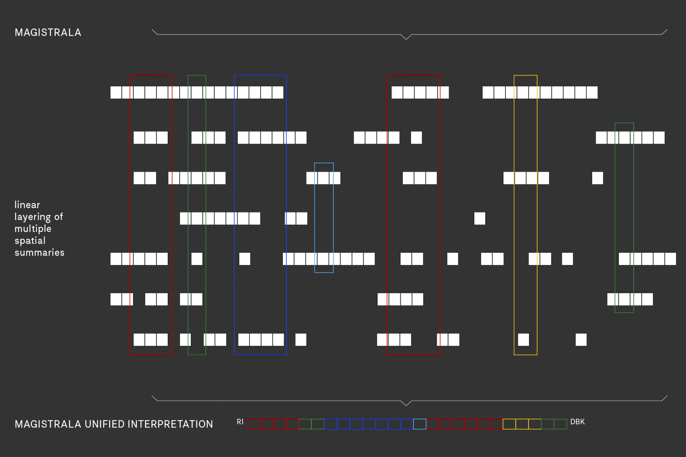
The length of the route, the quantity of spatial phenomena and their interconnections revealed the limits of conventional cartographic representation. The research therefore developed a method of linear mapping in which space is read as a sequence of segments, photographs, texts, historical sources and other datasets that can be compared and rearranged.
In a later phase the method developed into a system for segmenting the route, linking different data types and producing condensed spatial readings. These layers can be compared to identify rhythms, repetitions, breaks and patterns of spatial transformation.
Research authorsDamir Gamulin, Antun Sevšek
Contextmulti-phase research project
LinearMapper
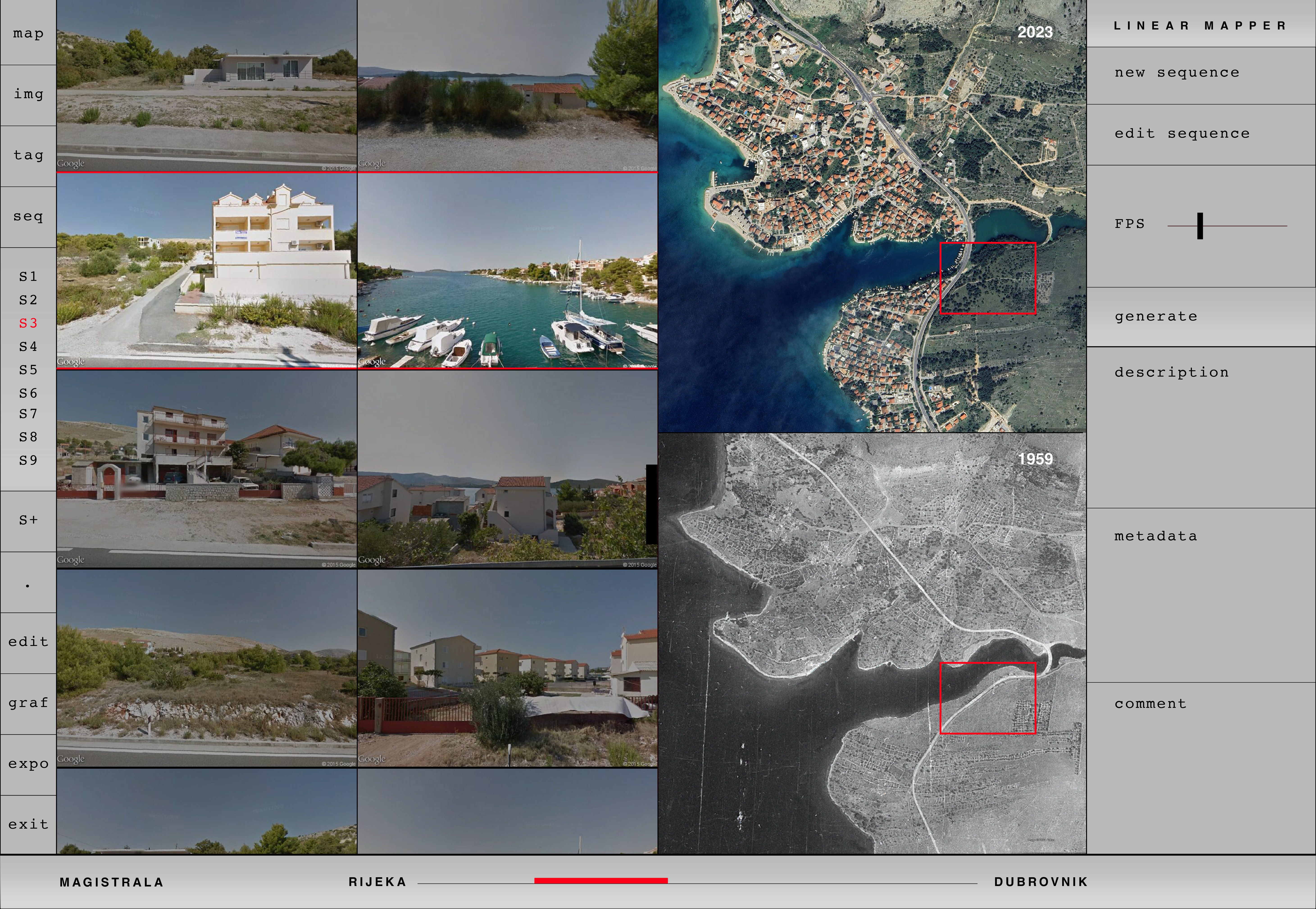
LinearMapper was developed from the need to work with data that could not fit within existing cartographic and GIS tools. It is a custom digital tool for collecting, organising, comparing and visualising data along a linear route.
The interface synchronises maps, photographic sequences, texts, historical sources and other data. Selecting a location aligns the different layers, allowing the space to be explored through different kinds of material without a predetermined hierarchy.
HORA
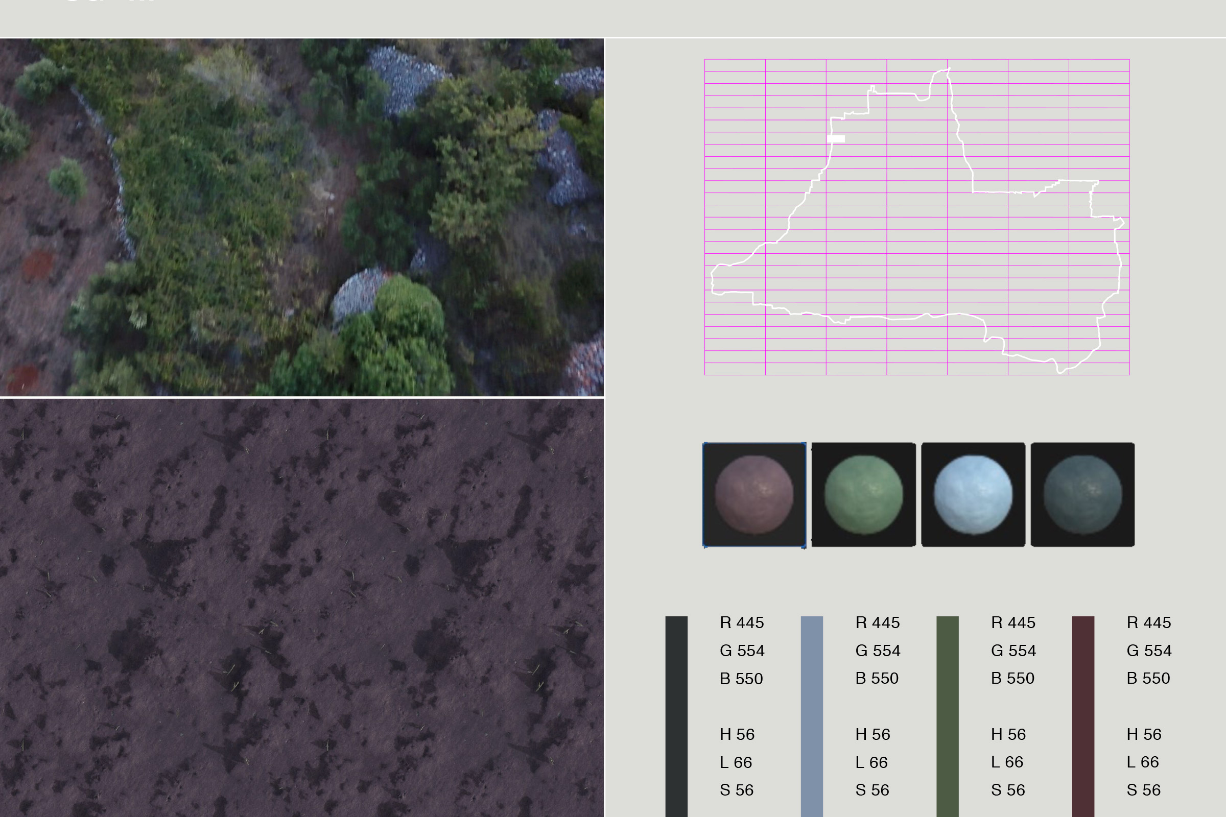
Archive of colours, forms and sounds of the Stari Grad Plain
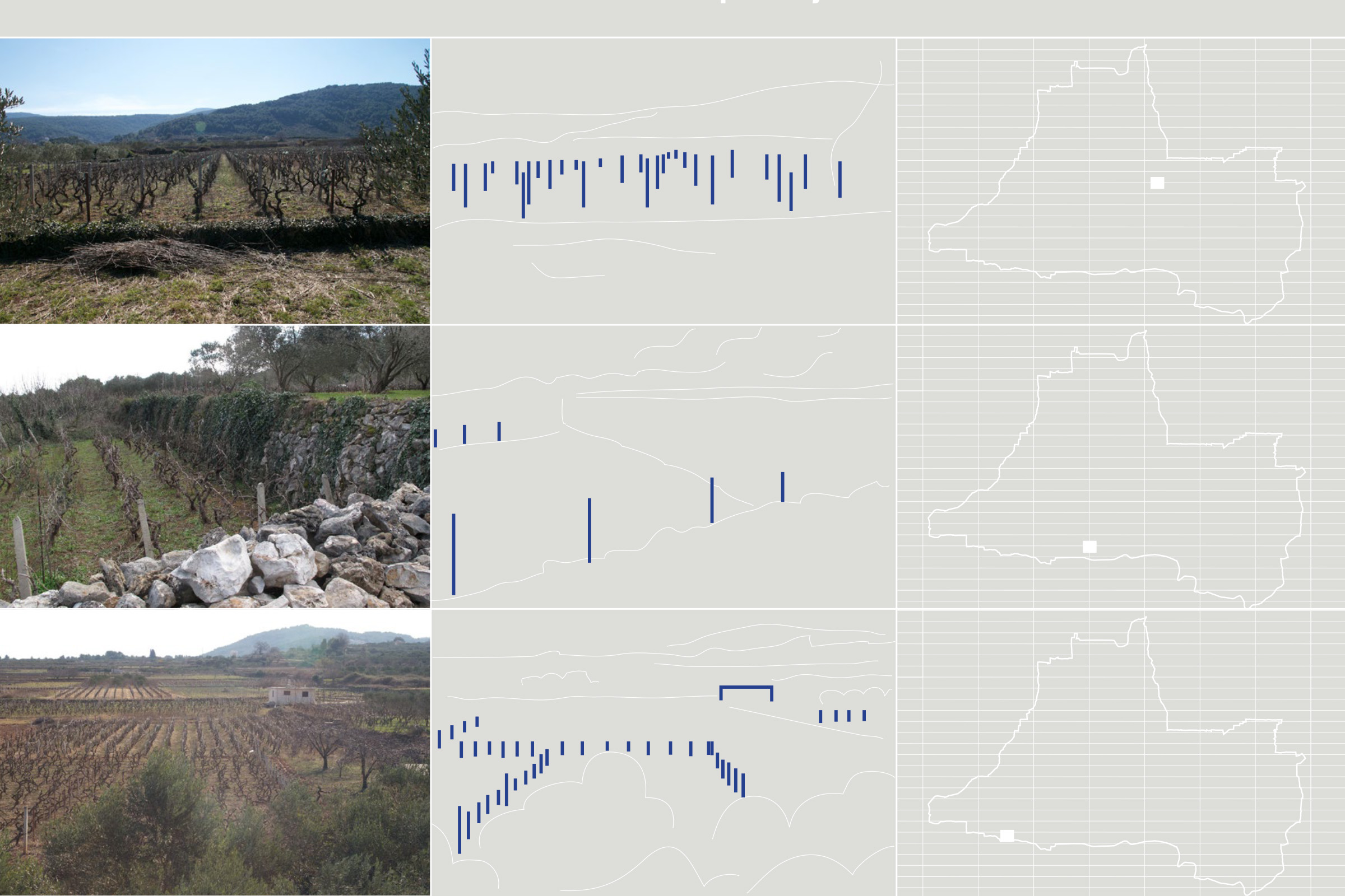
HORA was developed within the project for interpretive signage in the Stari Grad Plain and the protected historic area of Stari Grad. The study was conceived as a design basis derived not from a predetermined visual language, but from the characteristics of the place itself.
Field research recorded local forms, colours, textures, materials, sounds and other elements of the natural and cultural landscape. The data were then classified and interpreted as input for the future signage and interpretation system.
The study therefore links research and design: what is found in the landscape becomes the basis for designing new elements that are introduced back into it.
Study authorsDamir Gamulin, Ana Šverko
Contextinterpretive signage project for the Stari Grad Plain
Year2019
WayFinder
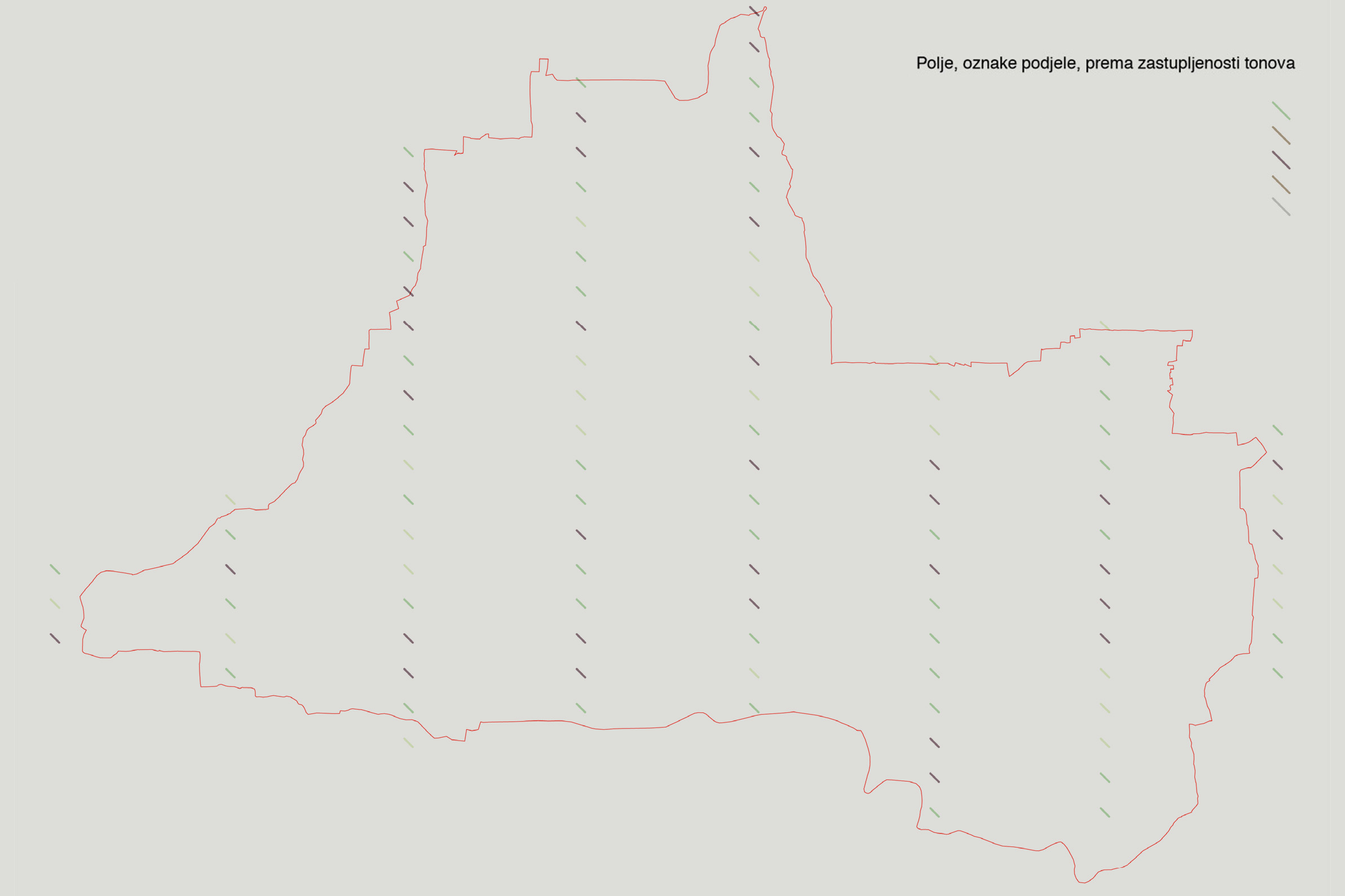
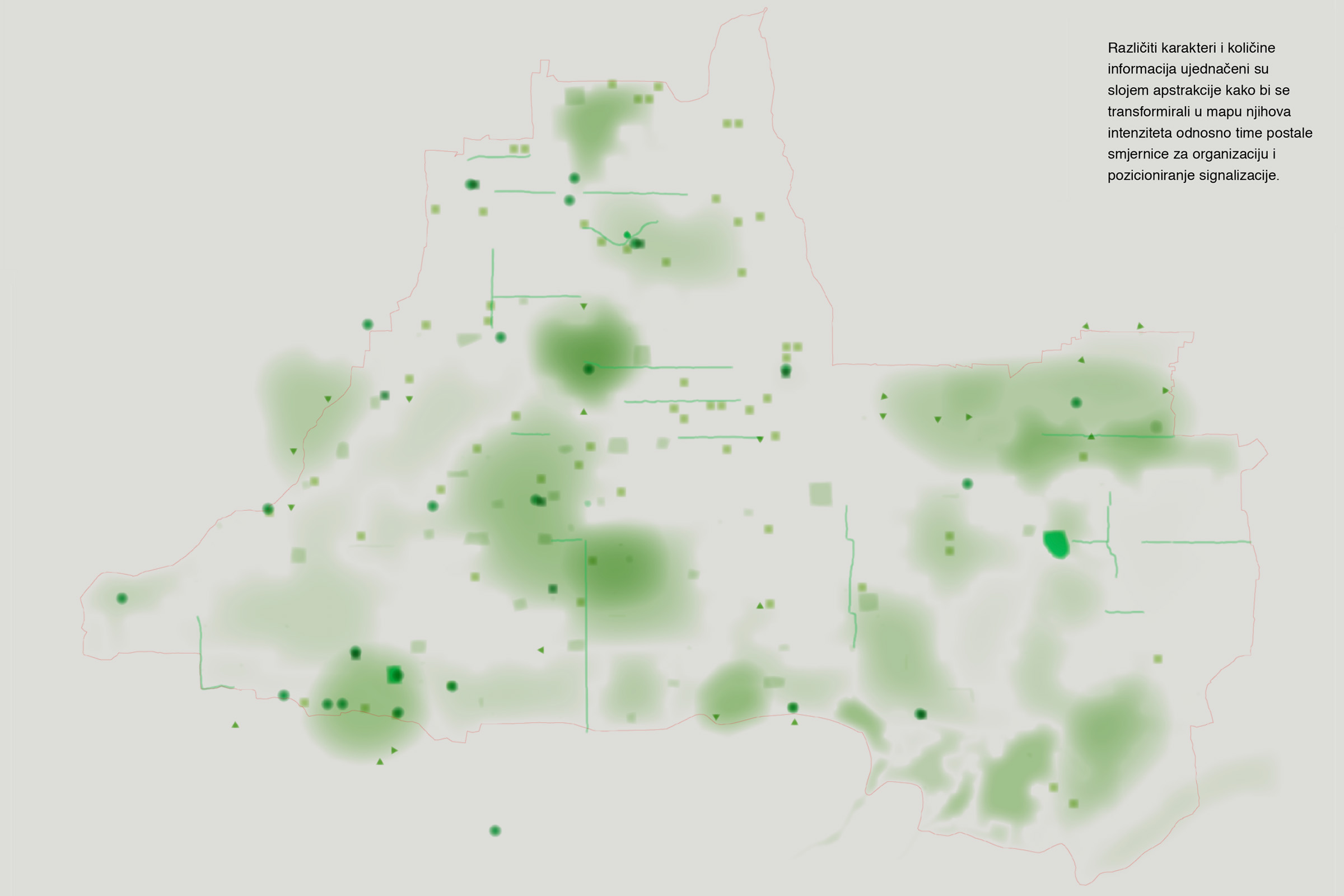
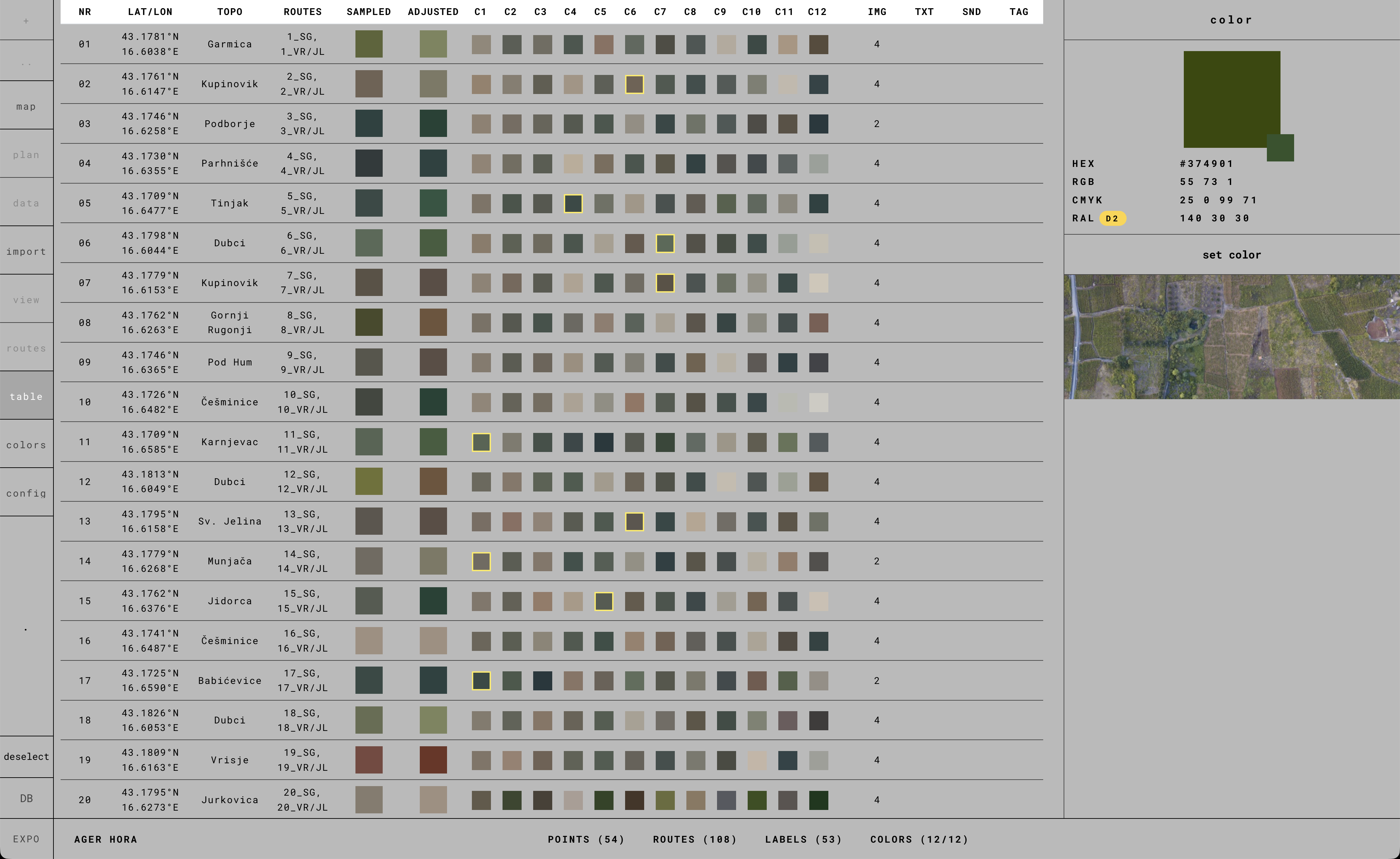
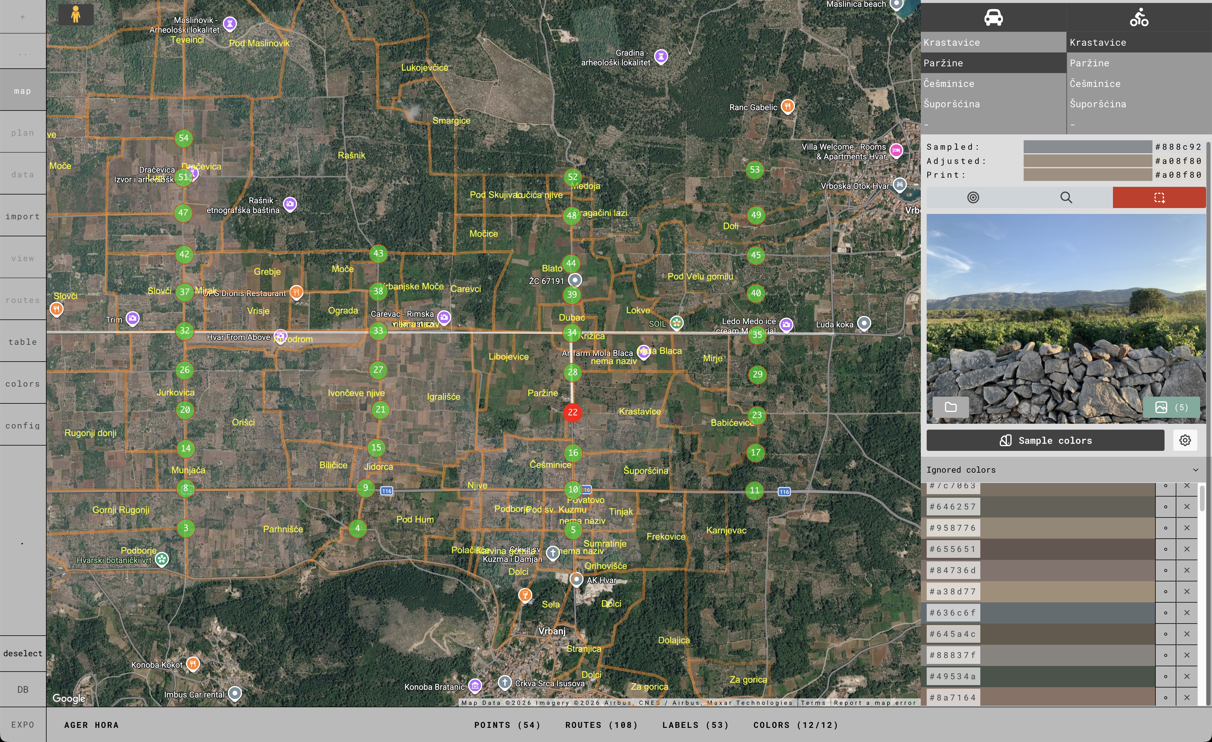
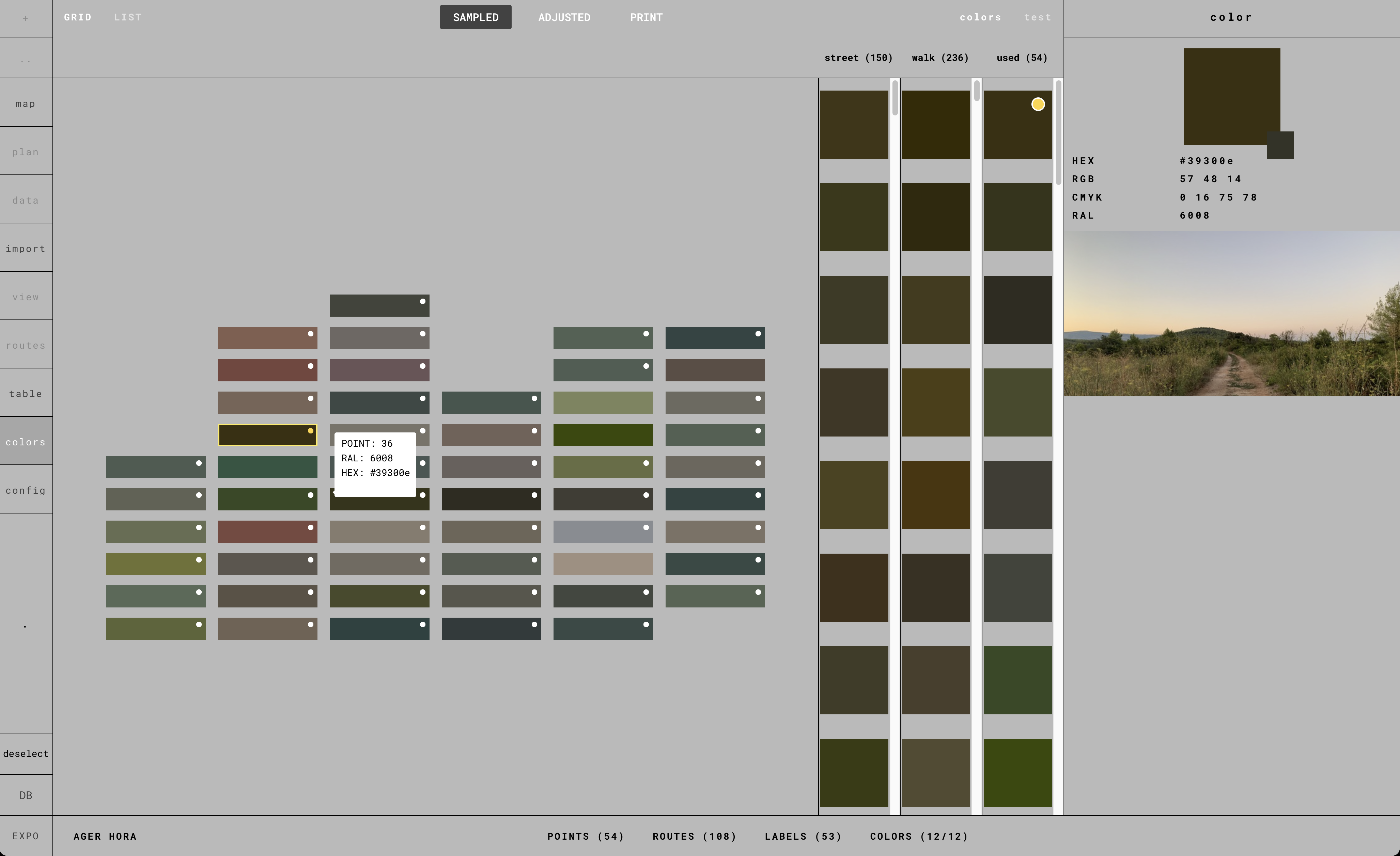
WayFinder was developed to work with the collected data: a custom digital tool for field recording, spatial positioning and organising content for the future interpretation and signage system.
The tool also enables the colours of the environment at sign locations to be monitored and compared across seasons, years and times of day. In this way, the changing character of the landscape becomes design data rather than merely the background to future interventions.
Park Gradac
Identity study for a historic public park
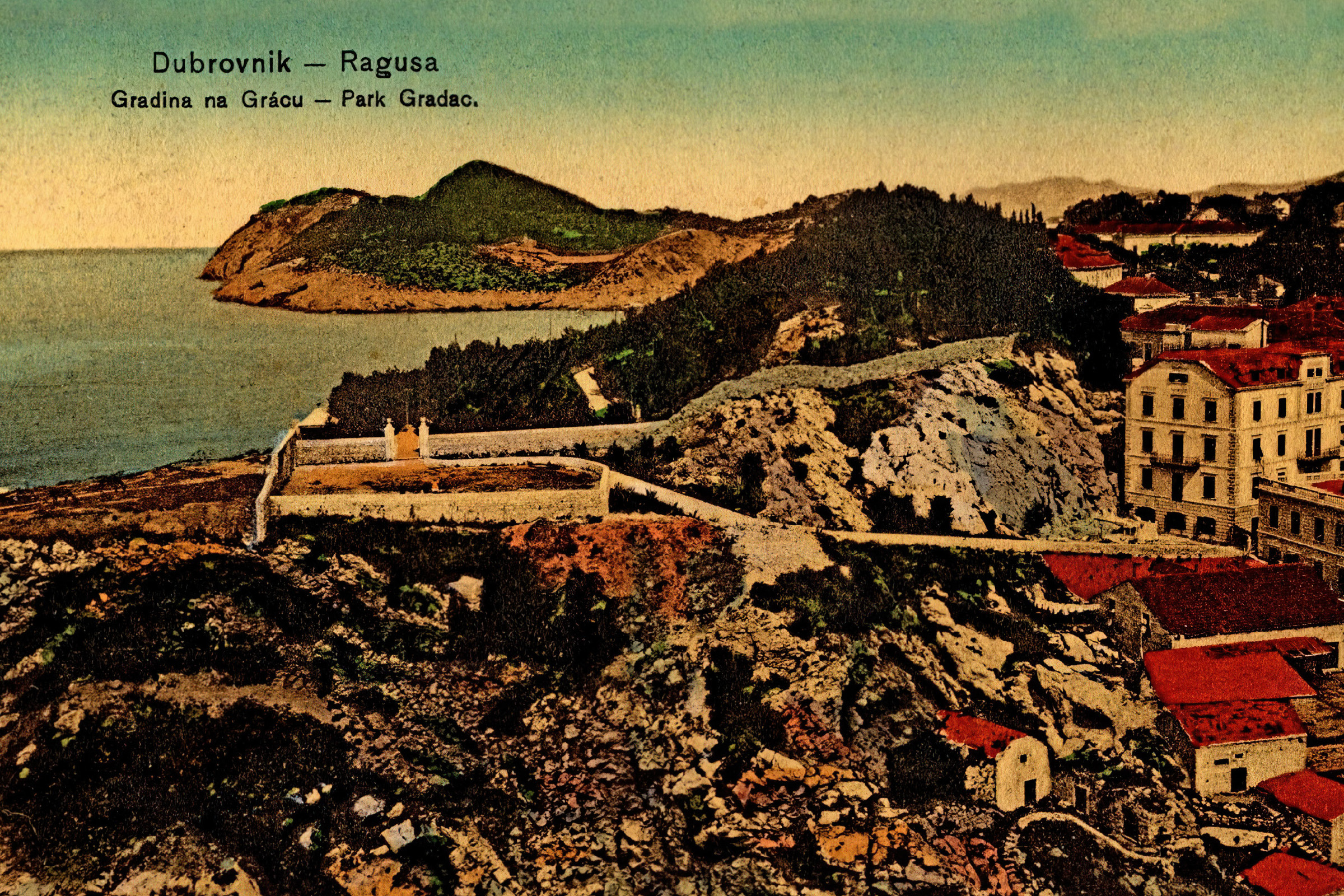
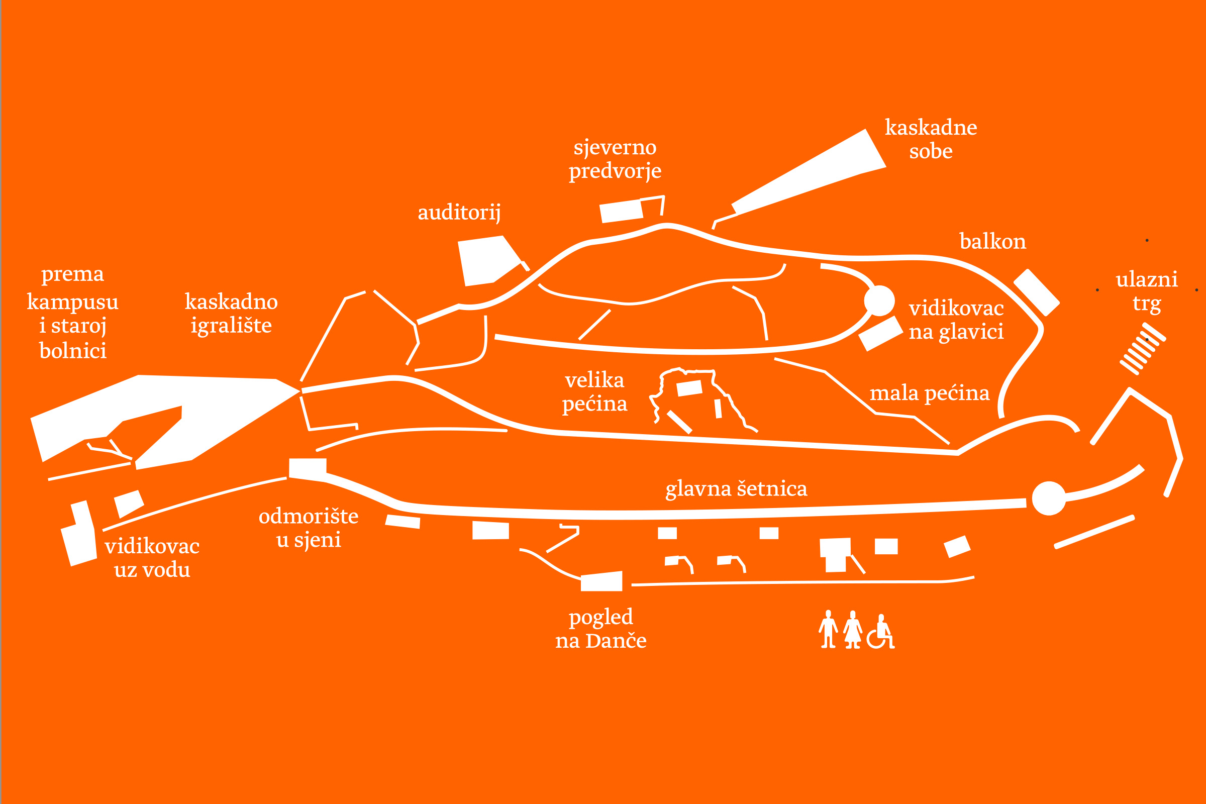
The Park Gradac identity study was developed within the broader restoration project for Dubrovnik’s historic public park. It became a design basis for a contemporary visual and communication layer grounded in the park’s existing spatial, material, historical and functional characteristics.
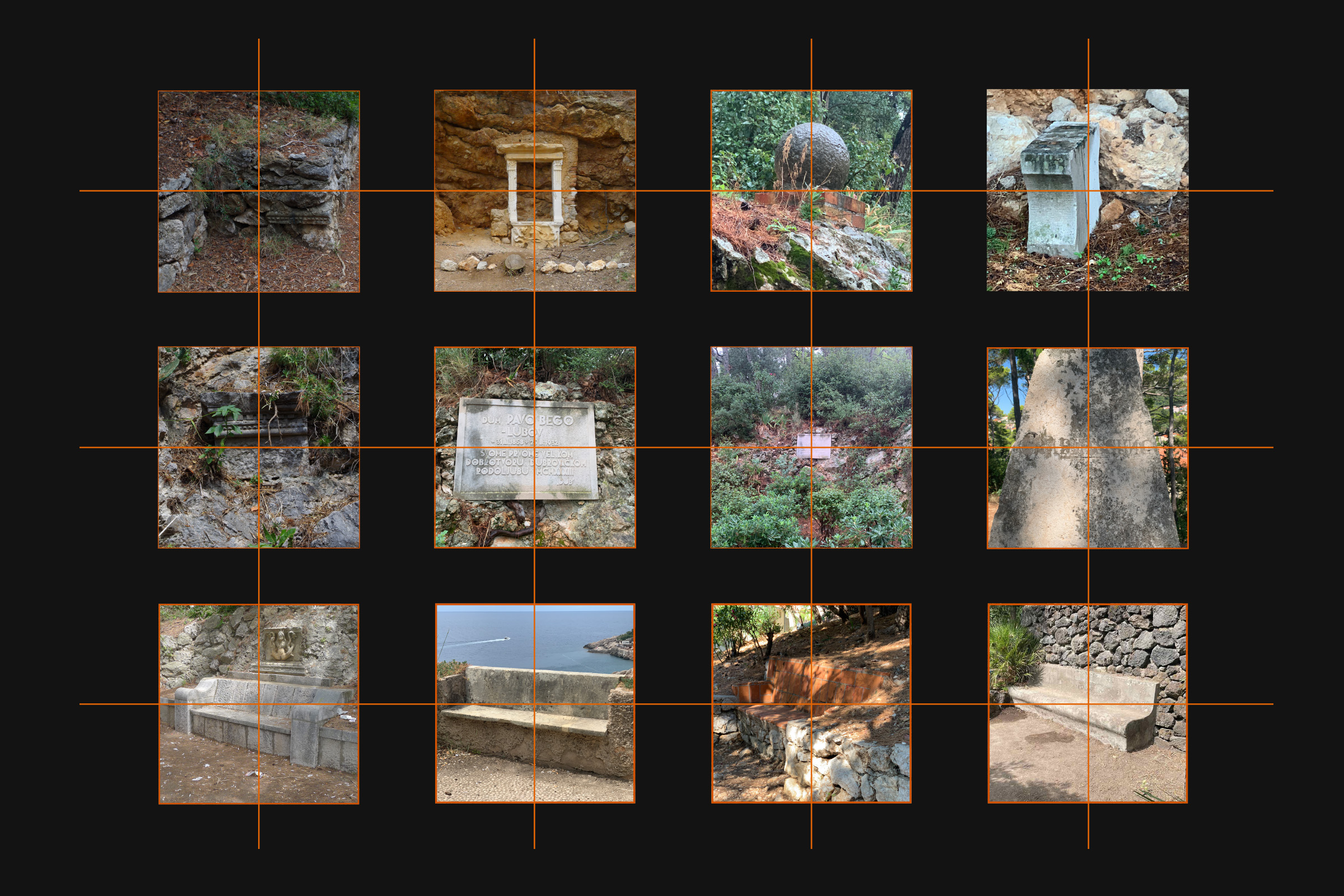
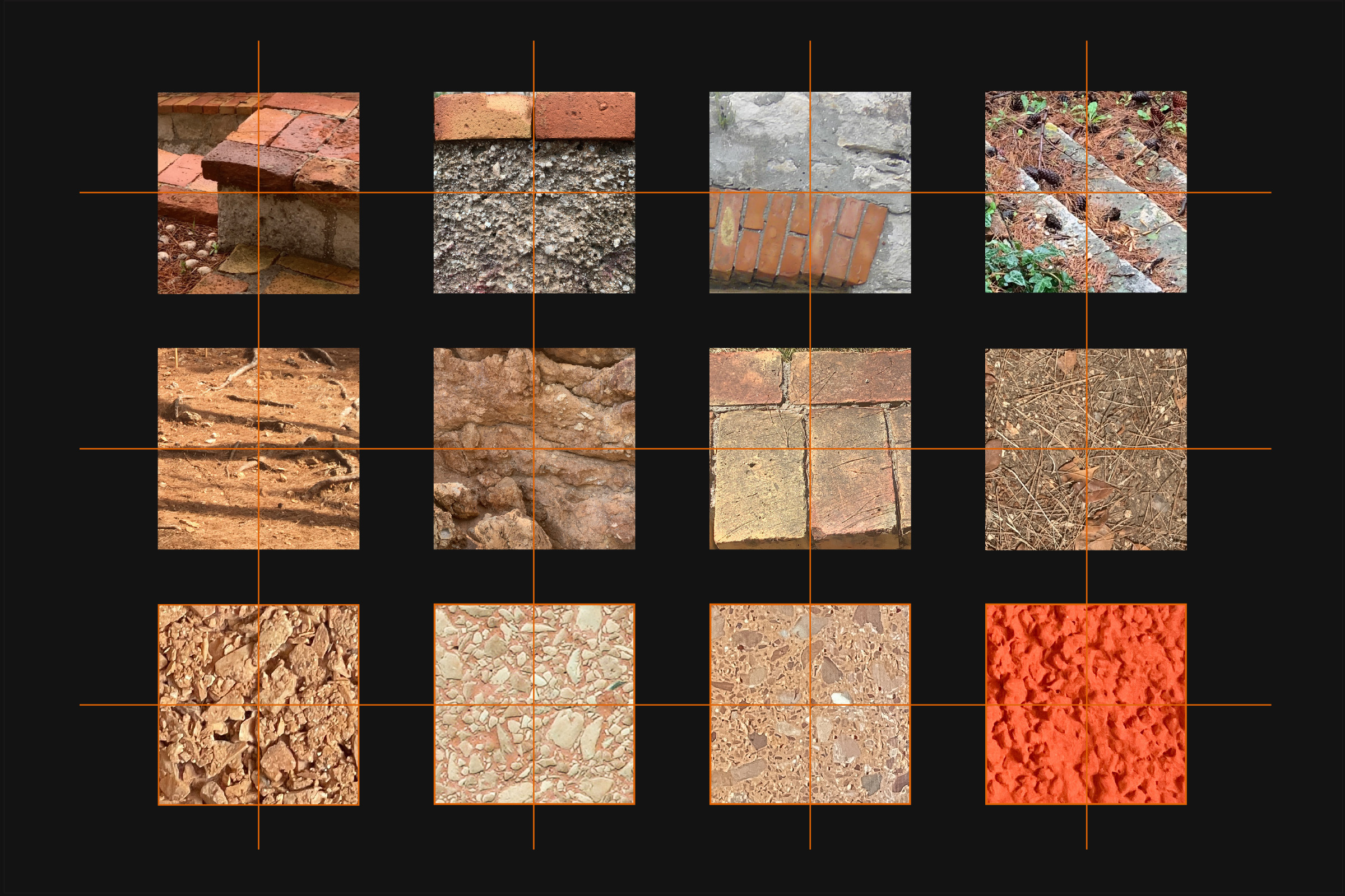
The starting point was not the creation of a new identity independent of the place, but a reading of what already exists in the park: its colours and materials, topography, architecture, furniture, historical accents, views and patterns of use. The study translates these elements into design guidelines for signage, environmental graphics and other new interventions.
This approach treats spatial identity as something to be carefully extended rather than created from scratch. The contemporary layer should remain clearly legible without competing with the existing character of the historic park.
Study authorsDamir Gamulin, Antun Sevšek, Ana Šverko
Restoration project authorsDamir Gamulin, Antun Sevšek, Melita Čavlović, Vesna Hrga Martić
Year2022
Park Garagnin-Fanfogna
Study for the development of a contemporary visual identity
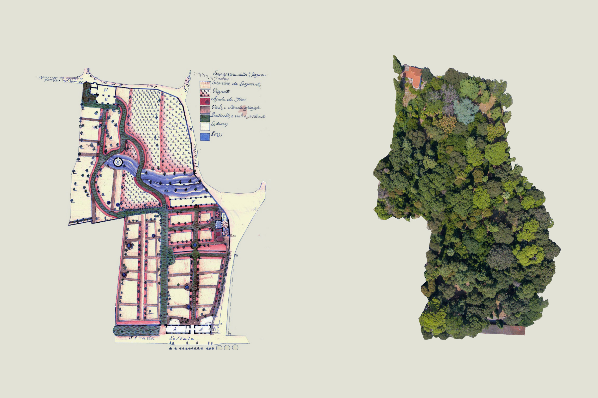
The study was developed within the restoration project for the historic Garagnin-Fanfogna Park in Trogir, a place where horticultural, architectural, economic and cultural heritage intersect.
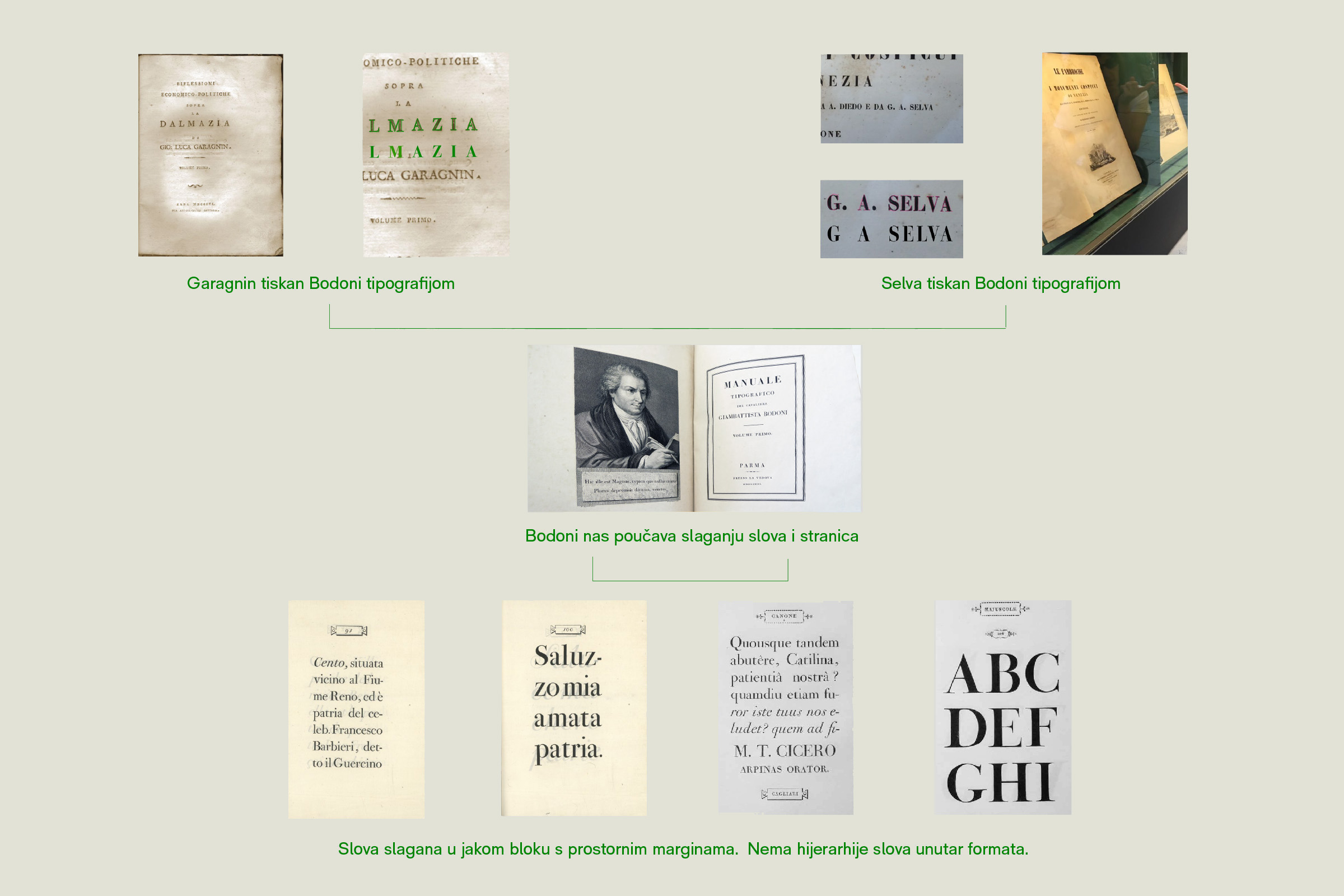
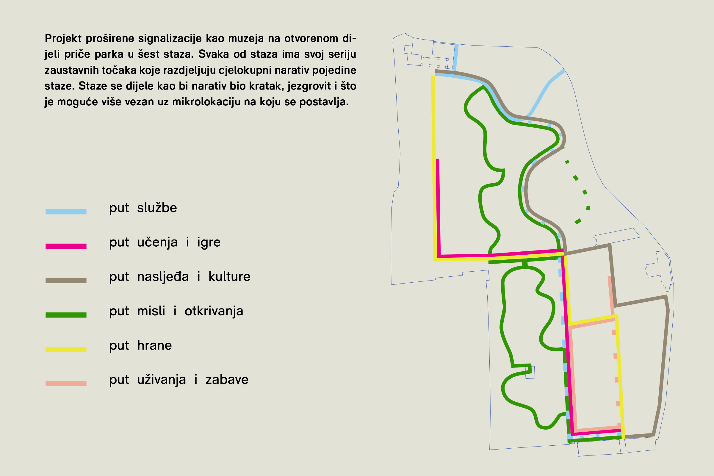
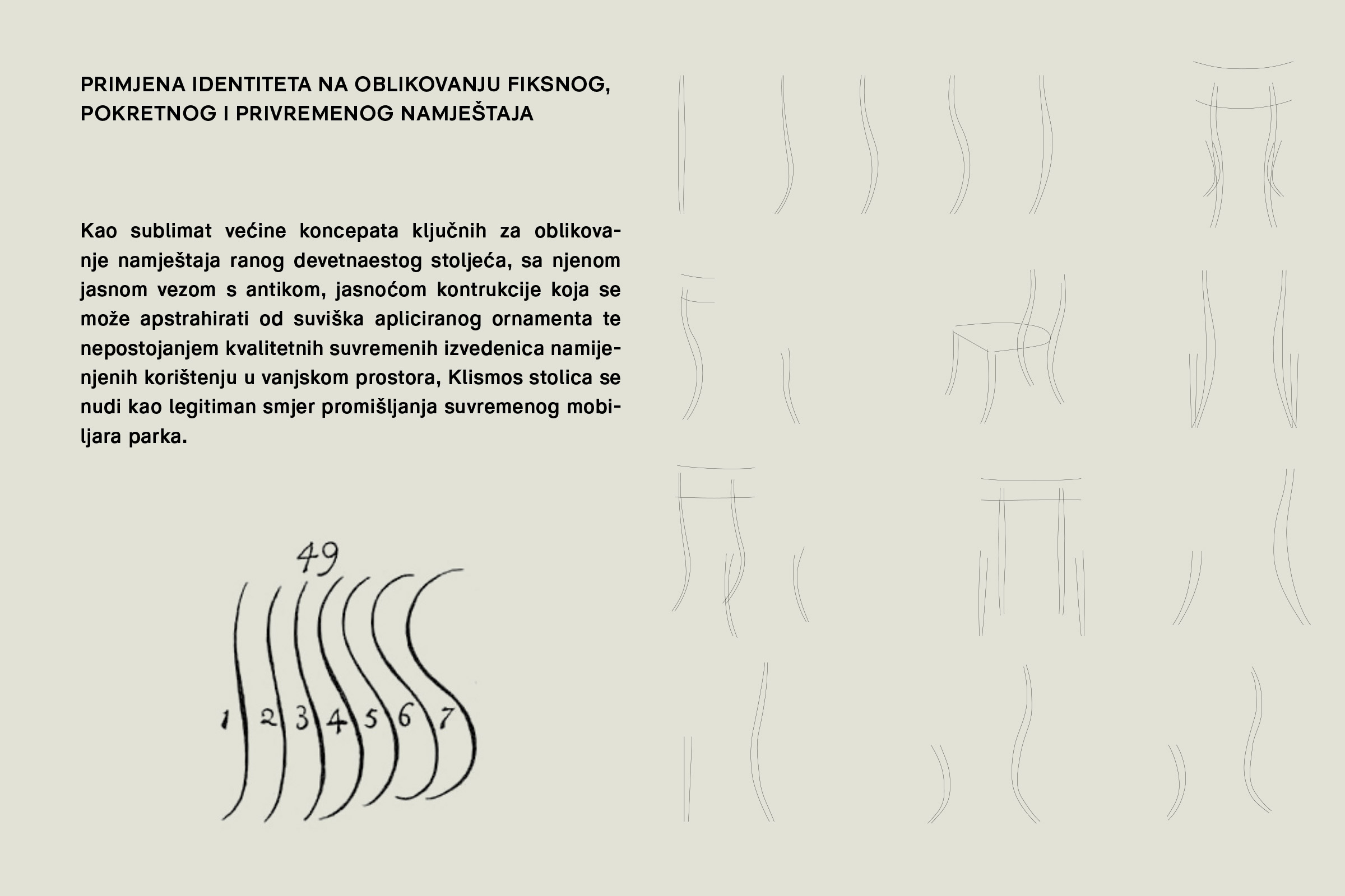
The research connects archival sources, the history of the park, architecture, horticulture, furniture, typography and patterns of use. The aim was not to reconstruct another historical layer, but to identify principles from which a contemporary system of identity, signage, furniture, lighting and communication could be developed.
The study therefore departs from the conventional process of creating a visual identity. New elements are developed as contemporary interpretations of existing values, allowing the restored park to remain the primary carrier of its own appearance and meaning.
A particular part of the research considers the park as a space for learning, experimentation and gradual reading — not only as a historical artefact, but as a living environment whose meanings can again become accessible to contemporary users.
Study authorsDamir Gamulin, Antun Sevšek
CollaborationAna Šverko
Contextrestoration project for Garagnin-Fanfogna Park, Trogir
Year2018
Spaces of co-action
20 years of planning in Zadar County
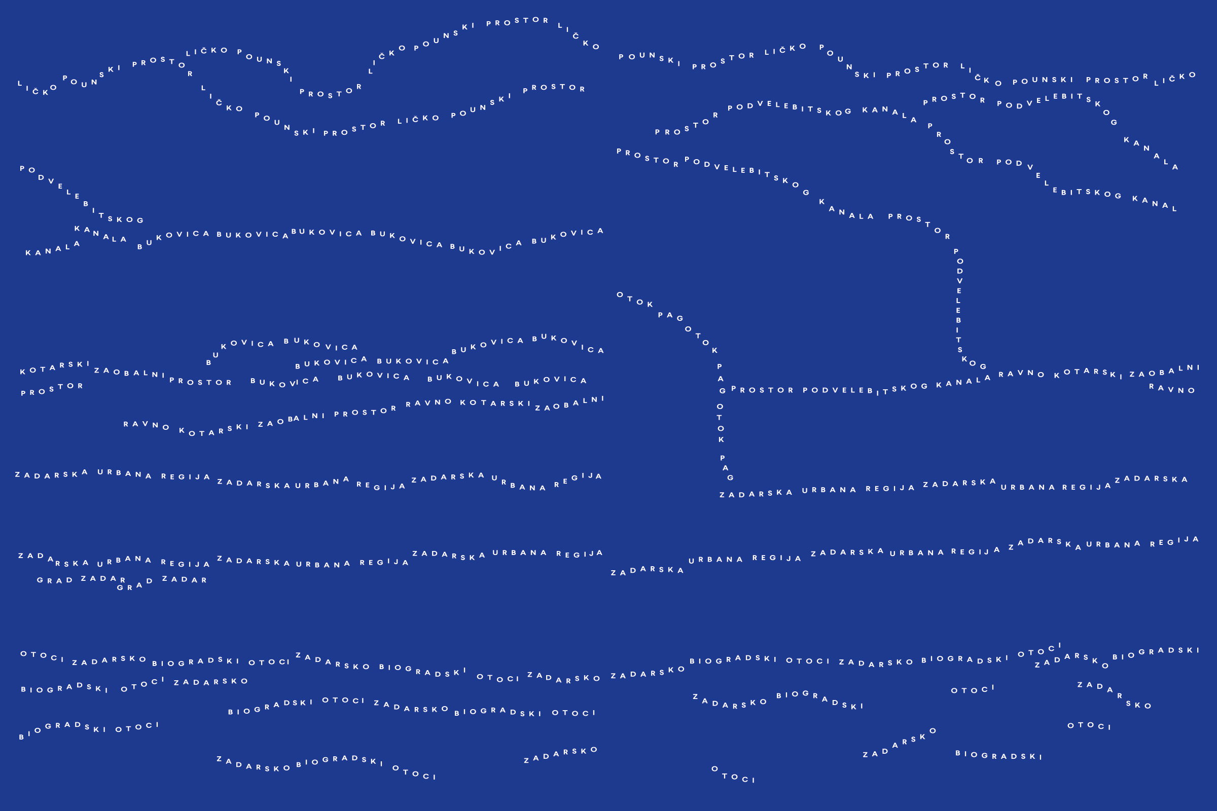
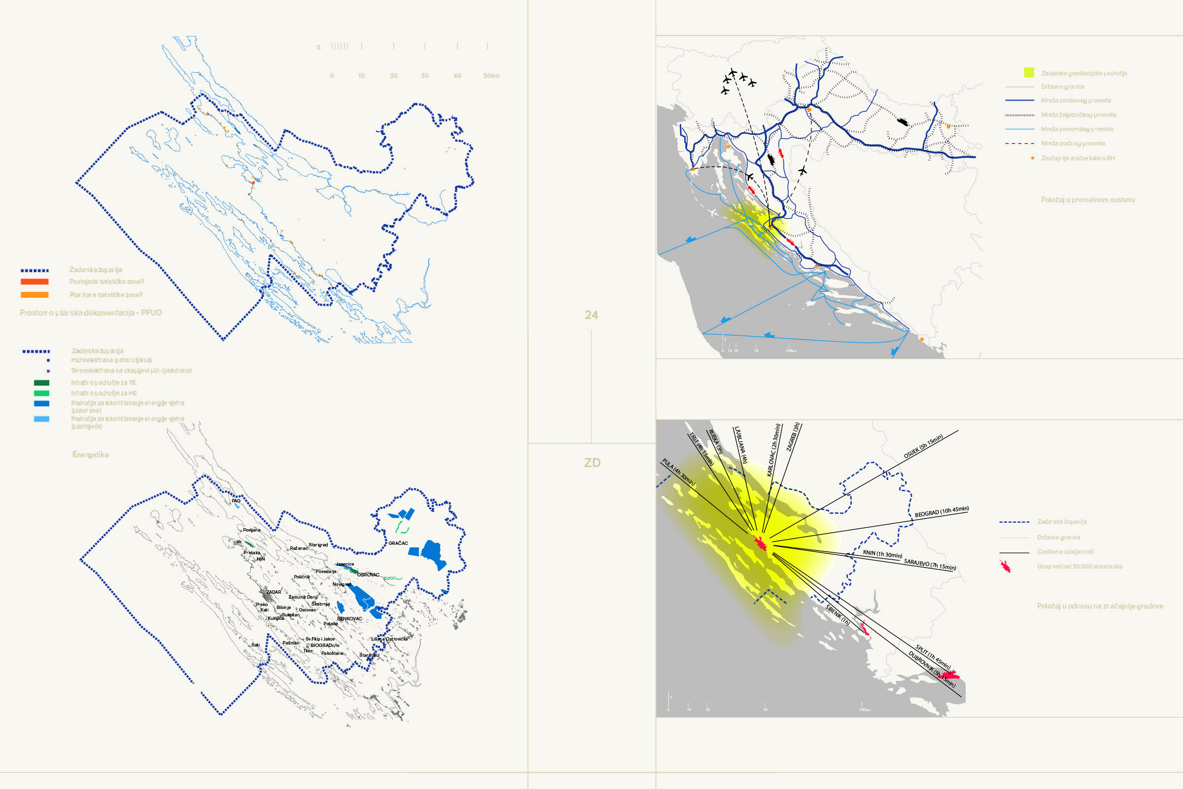
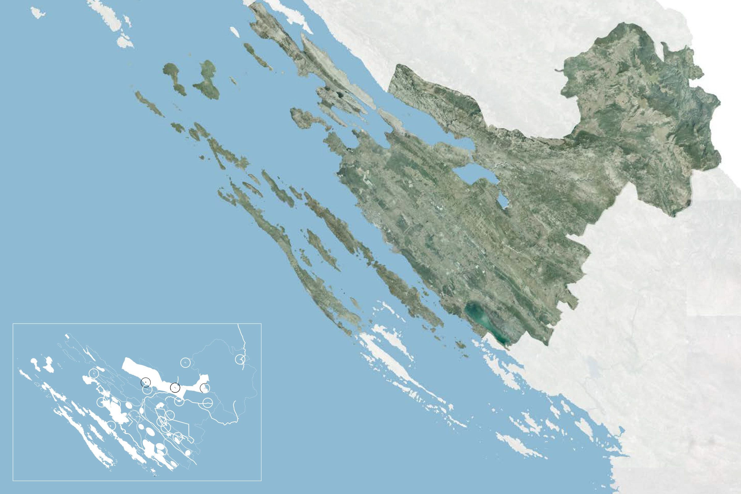
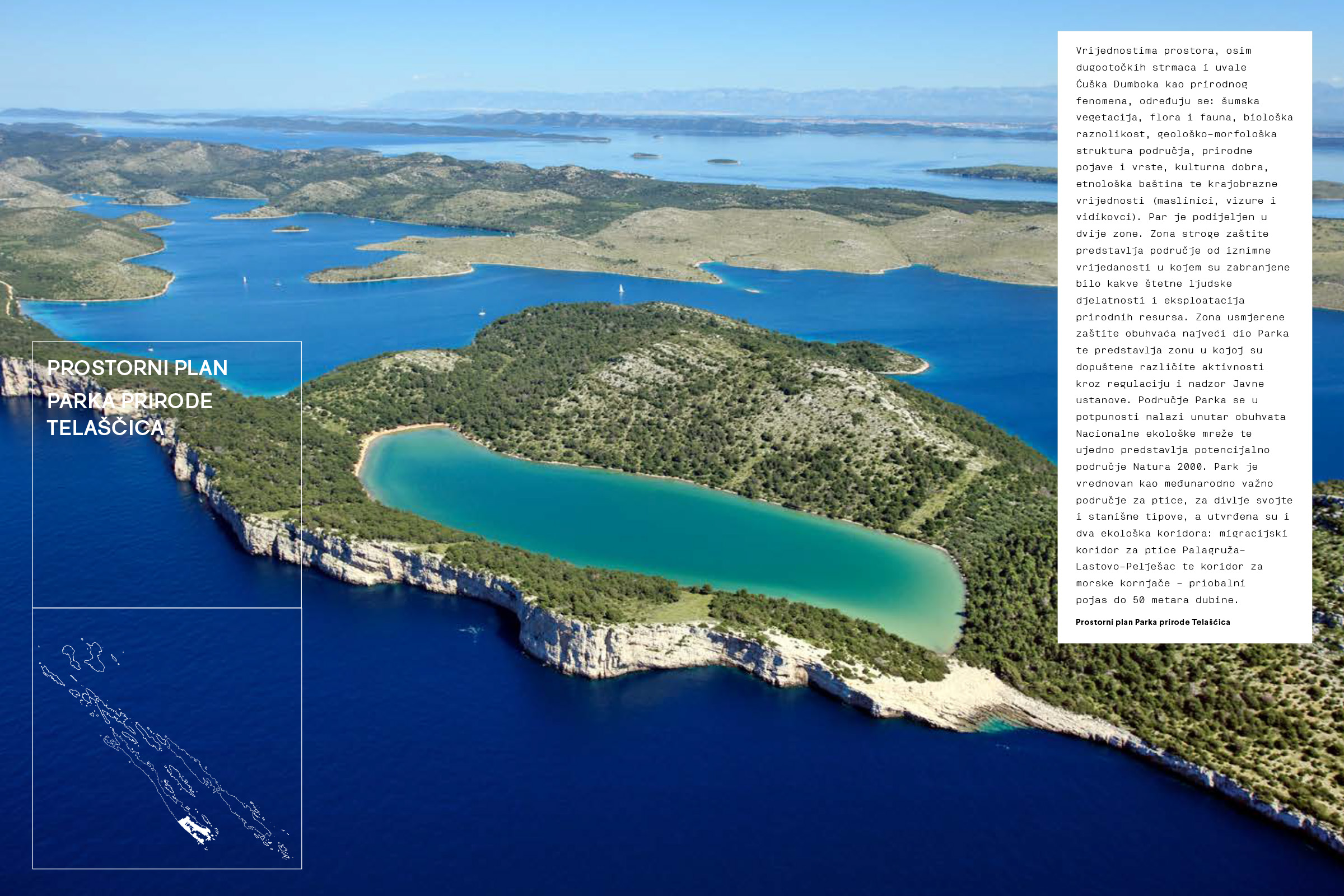
The project was developed in collaboration with the Institute for Spatial Planning of Zadar County as a research and interpretive reading of more than twenty years of its work in spatial and urban planning.
The research involved reviewing and rereading an extensive body of studies, projects and planning documents produced by the Institute. The extensive body of professional and planning material was analysed, mapped and organised so that it could become legible exhibition content, while planning processes could be understood through spatial relationships, development themes and different forms of collaboration.
The project was first presented as an exhibition in 2013, and the research continued in a publication released in 2015. The book transferred the same body of knowledge into another medium while retaining the project's research and interpretive character.
Research, exhibition and publication authorsMaroje Mrduljaš, Antun Sevšek, Damir Gamulin
Expert consultantsNives Kozulić, Vladimir Mattioni
Project collaborationMelita Čavlović, Petar Kozina
Design collaborationKatarina Eljuga Žižić
Contextcollaboration with the Institute for Spatial Planning of Zadar County
Period2013–2015
What these projects share is not a single method, but the need to find a mode of research for each place that can become a real part of the design process.